A Cartographic Symphony of East and West
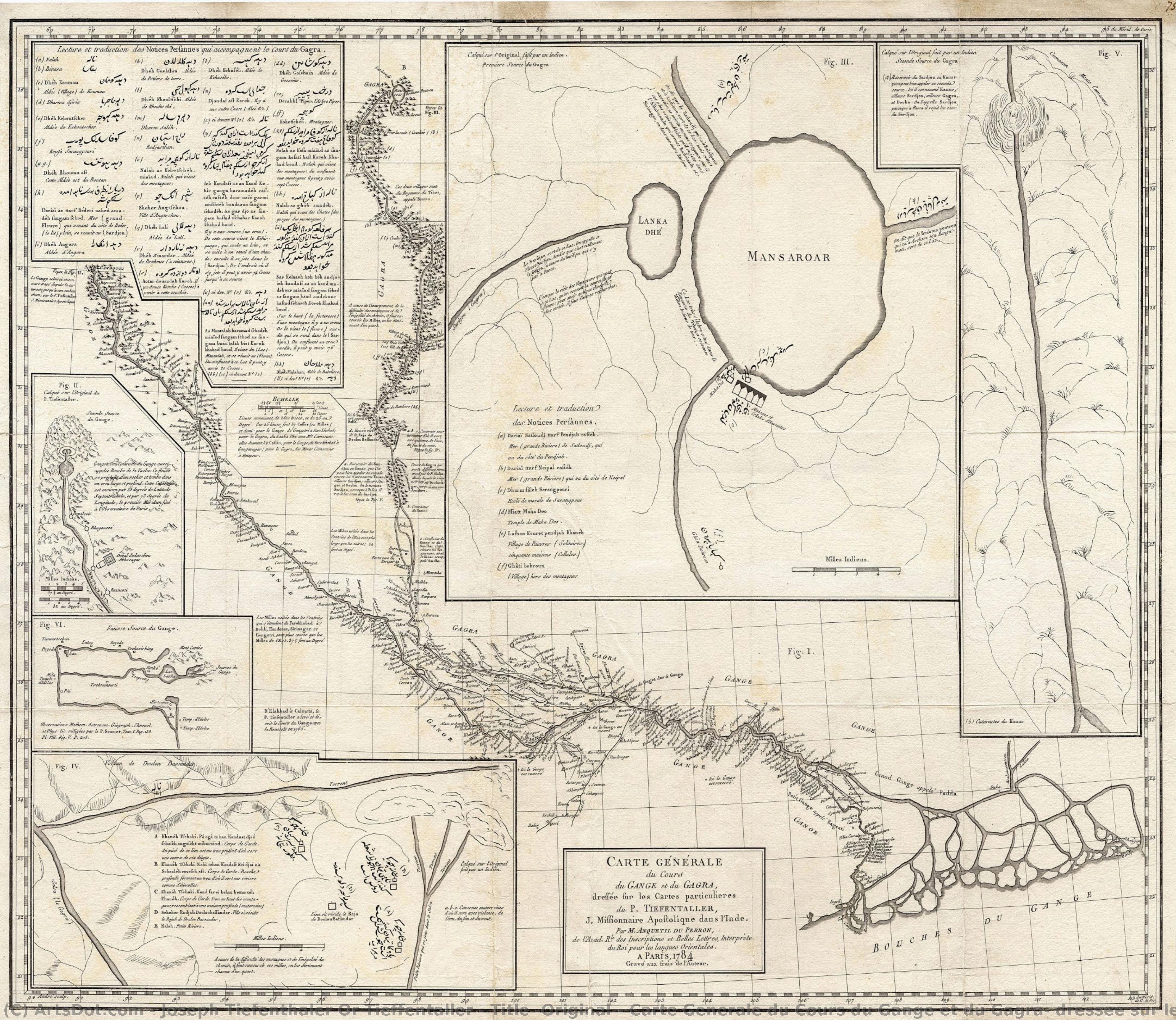
In the grand tapestry of Enlightenment-era exploration, few artifacts capture the profound meeting of disparate worlds as elegantly as this exquisite map of the Ganges and Ghaghara Rivers. This intricate engraving is far more than a mere geographical record; it is a visual dialogue between European scientific rigor and ancient Indian spiritual topography. The composition serves as a bridge across centuries, weaving together the meticulous astronomical measurements of Jesuit missionary Joseph Tieffenthaler with the sacred pilgrimage routes established by Indian cartographers over millennia. As one gazes upon the flowing lines of the great rivers, there is a palpable sense of discovery, an invitation to wander through a landscape that is simultaneously a physical reality and a deeply spiritual realm.
The artistry of this piece lies in its sophisticated layering of information and perspective. The central map, rendered with remarkable precision, showcases the lifeblood of Northern India—the Ganges and Ghaghara (Karnali) rivers—tracing their winding paths through the vast Gangetic Plain down to the bustling port of Calcutta. This primary focus is beautifully complemented by a series of inset maps that act as windows into the mysterious origins of these waters. These smaller vignettes, particularly those depicting the ‘Gomukh’ or Cow’s Mouth at the foot of the Gangotri Glacier and the serene Lake Manasarovar in Tibet, provide a sense of depth and scale that transcends simple navigation. The interplay of French and Persian toponymy across the parchment creates a rich, multilingual texture, reminding the viewer of the Mughal Court's enduring influence amidst the burgeoning era of European scientific inquiry.
The Legacy of the Jesuit Explorer
To understand the soul of this map, one must look to the life of its primary architect, Joseph Tieffenthaler. An Austrian Jesuit missionary born in Italy, Tieffenthal_haler spent over four decades traversing the Indian subcontinent, not merely as a man of faith, but as a dedicated scientist of the earth. Armed with a quadrant and an unyielding curiosity, he transformed his missionary journeys into a monumental feat of cartographic achievement. This work represents the culmination of his life's labor, later assembled by the esteemed French orientalist Abraham-Hyacinthe Antequil du Perron. The map stands as a testament to a period when the pursuit of knowledge was an adventurous, often perilous, endeavor that required a unique blend of cultural empathy and mathematical precision.
For the discerning collector or interior designer, this reproduction offers a profound sense of intellectual prestige and timeless elegance. The monochromatic beauty of the engraving lends itself to a variety of sophisticated decor styles, from the classic grandeur of a traditional library to the curated minimalism of a modern gallery space. It is a piece that invites conversation, acting as a focal point that stimulates thought about history, geography, and the interconnectedness of human civilization. Owning such a work is not merely about possessing an image; it is about preserving a fragment of the Enlightenment spirit—a celebration of the moment when the world began to truly map its own complexity.


 Preview
 Buy Print
 Send
Send Share
Share
 Details

 Download
 Similars
 X-Ray
X-Ray Diaporama


 Read More
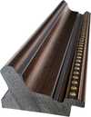
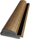
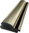
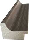
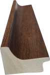
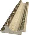
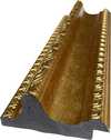
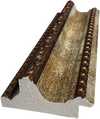
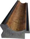
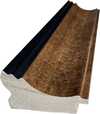
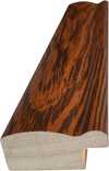
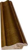
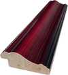
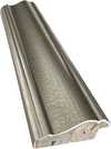
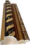
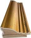
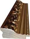
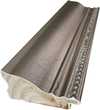
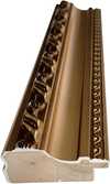
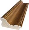
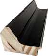
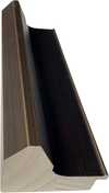
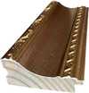
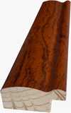
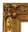
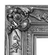


 Glass option is only available in size under 110 CM